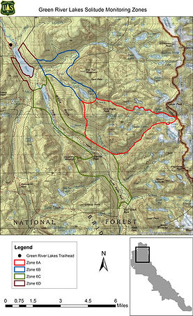

Solitude Monitoring
OVERVIEW
Opportunities for solitude is one of four defining wilderness characteristics identified in the 1964 Wilderness Act. Federal managers, including those in the Bridger-Teton and Caribou-Targhee National Forests, have established a solitude monitoring protocol in the Teton, Gros Ventre, Bridger, and Jedediah Smith Wilderness areas. This protocol gathers travel encounter data essential for creating a baseline to assess visitor trends and guide management actions like visitor education to preserve wilderness qualities. The Solitude Monitoring program, a partnership between the Wyoming Wilderness Association, federal agencies, and community members, trains local volunteers on this citizen science project. These volunteers collect data adhering to the Forest Service’s National Minimum Protocol for Monitoring Opportunities for Solitude. This effort not only ensures consistent, high-quality data but also cultivates a stewardship ethos among community members. To learn how you can contribute to this vital initiative, please see the resources below.
2024 Field Season Tracker
Click here to see what areas need monitoring!

TRAINING
Disclaimer: Please note that by signing-up for this community science project, volunteers assume all risks and liability associated with monitoring in remote Wilderness areas.
MAPS & FORMS
Teton Wilderness Map
(Requires additional training - contact kcreno@wildwyo.org to learn more)

Gros Ventre Wilderness Map

Bridger Wilderness Maps


Jedediah Smith Wilderness Map

